Monday, Mar. 20, 2023
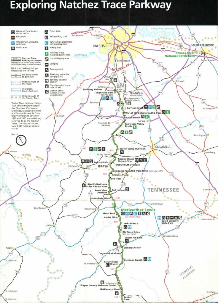
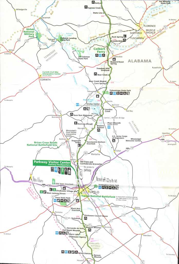
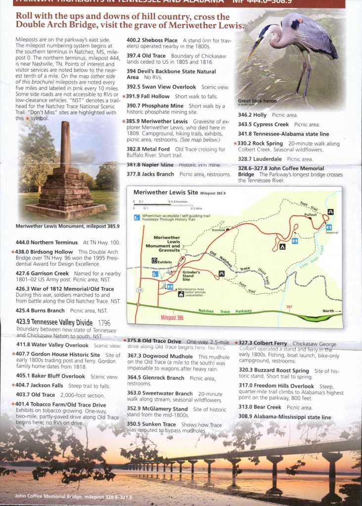
Today we start our adventure down the Natchez Trace Parkway. Here is a lovely map that gives a detailed description of the road we are taking. Our goal today is Jeff Busby Campground at Mile Marker 189 on the road. We are actually starting at the bottom of this map and working our way to the top which is how most travelers in the olden days used the trail system. They would take a barge down the Ohio river to the Mississippi River and ride it down to Natchez, MS. where the boat would be destroyed for its wood and the people would walk or ride home.

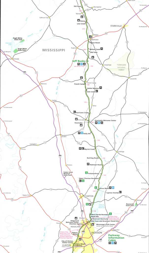

The Old Trace is the actual path the Native Americans and Settlers Use to walk or ride on. There are several old sections of this trail you can walk or ride to this day. it is call the Natchez Trace Scenic Trail. They have all kinds of accommodations for people who want to walk or ride the trace, with extra campgrounds just for those people.

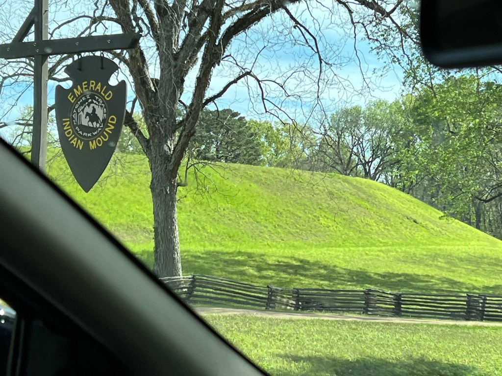
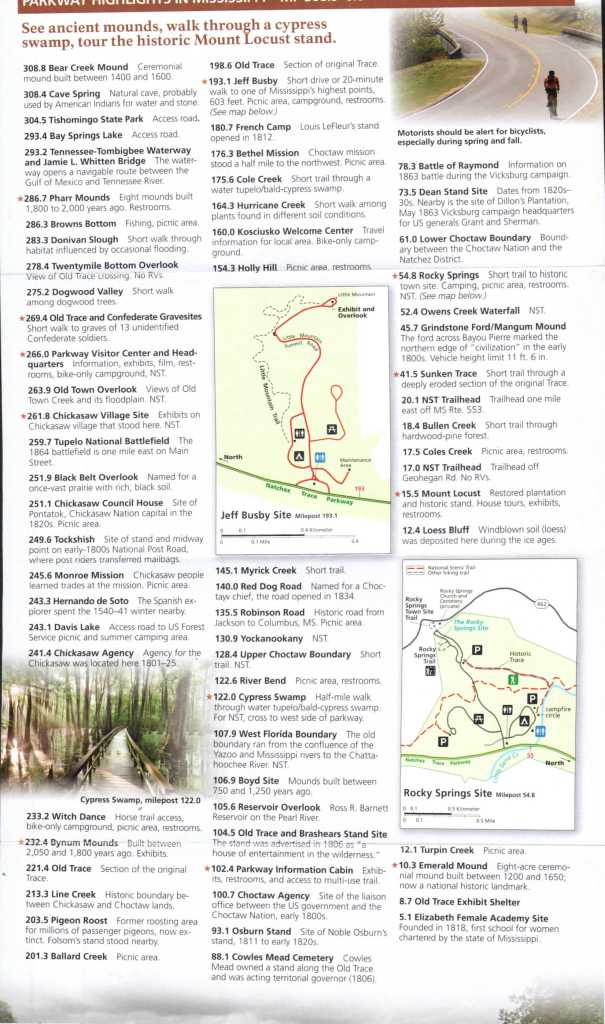
This is one of our first stops along the way. It is a place called the Emerald Mound. These are sort of all over Mississippi. They actual have a mound trail you can follow to see them all. They were used by the Native American People in the area for Ceremonial Purposes.
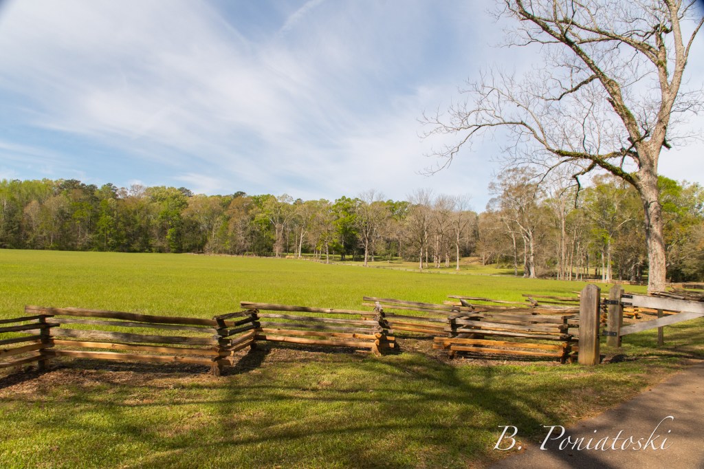

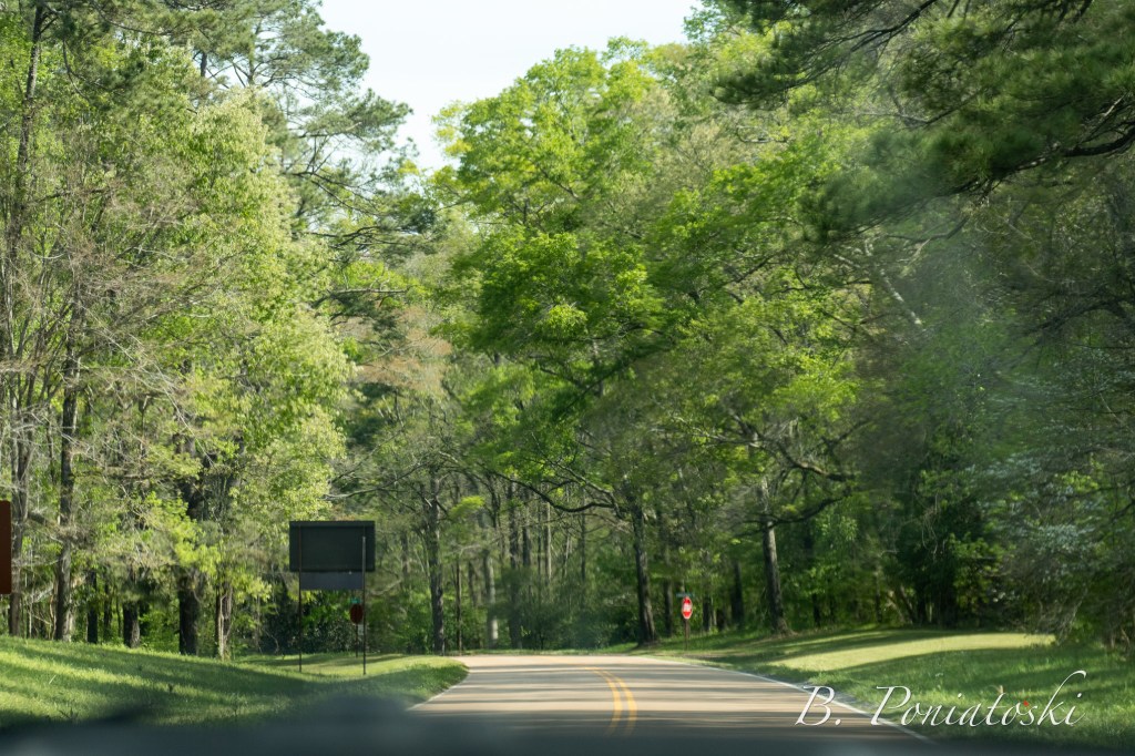
This part of the parkway was actual not open but here are some photos of the area that we could get to.

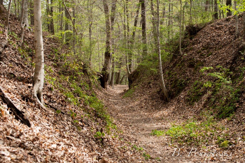

Here is part of the original trail people walked to get from Natchez back to their homes in Tennessee and Ohio. Come to Find out the forest in Mississippi is part of the same forest in Maine and before the settlers started to clear cut to make fields a squire could got from Maine to Mississippi with out ever having to touch the ground. That is how dense the forests use to be.
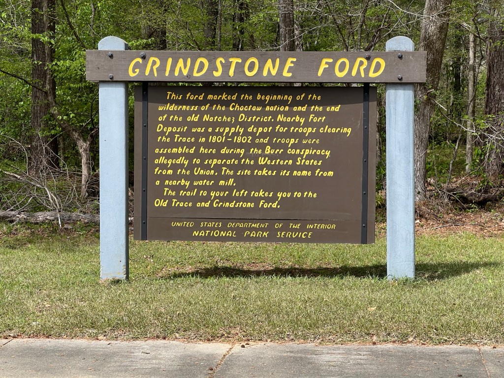
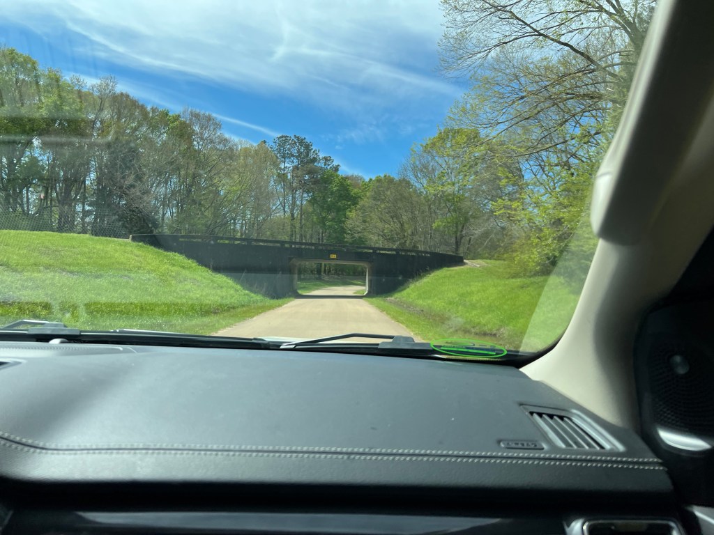
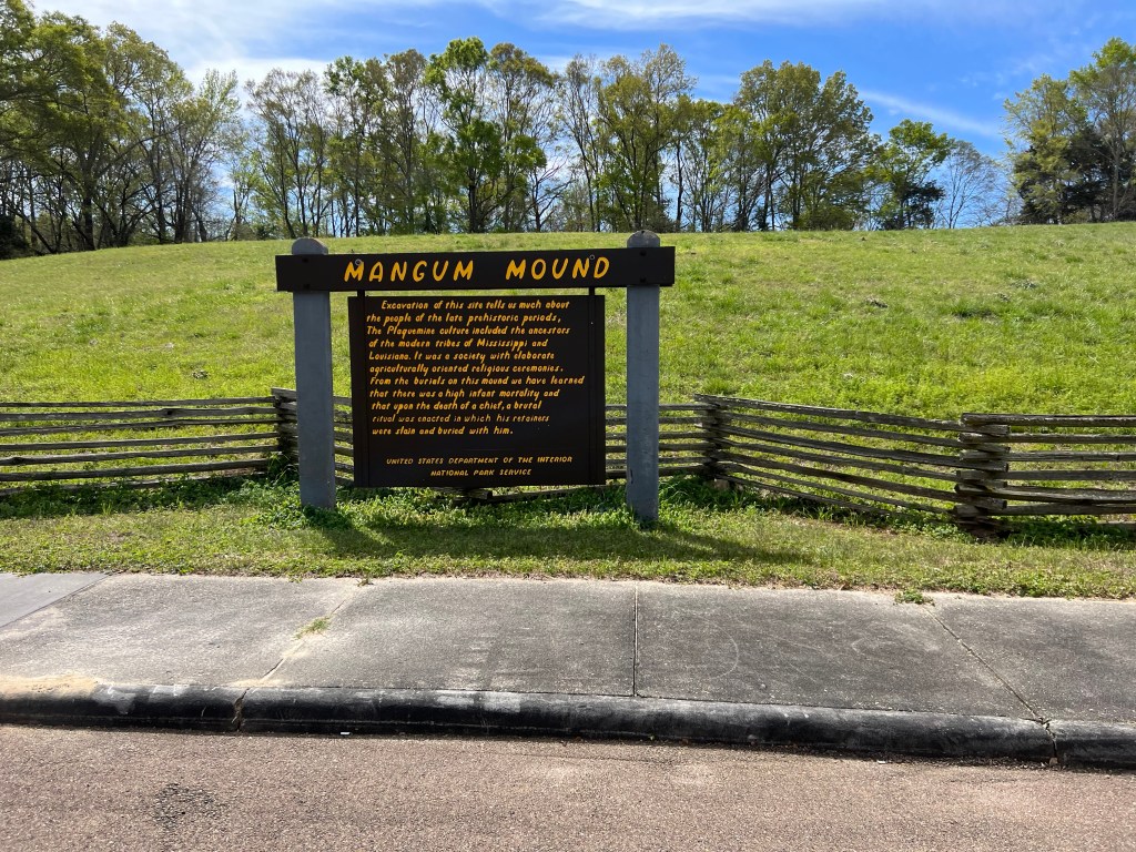
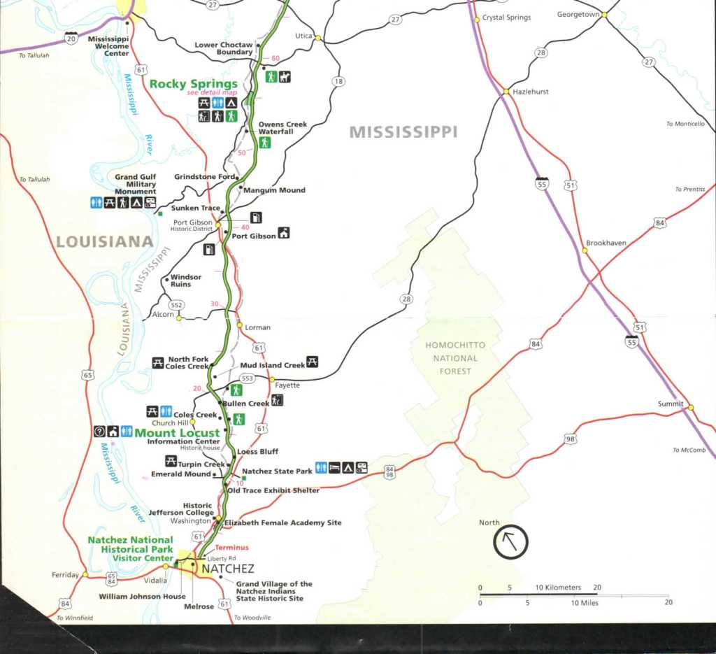
Here is Magnum Mound and cool bridge and a sign for the Grindstone Ford were travelers had to cross a river to keep moving north.


Another stop along the way, this is one of three waterfalls along this road the other two are in Tennessee.
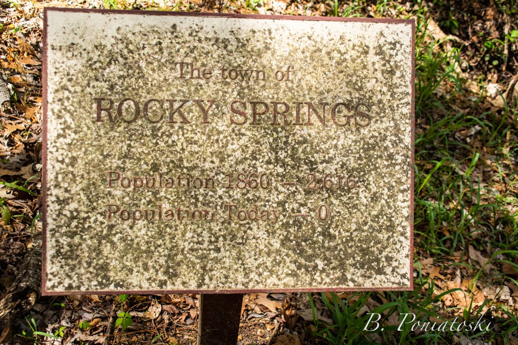


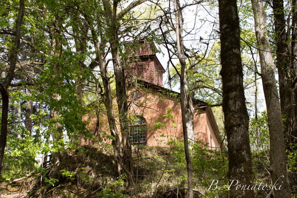
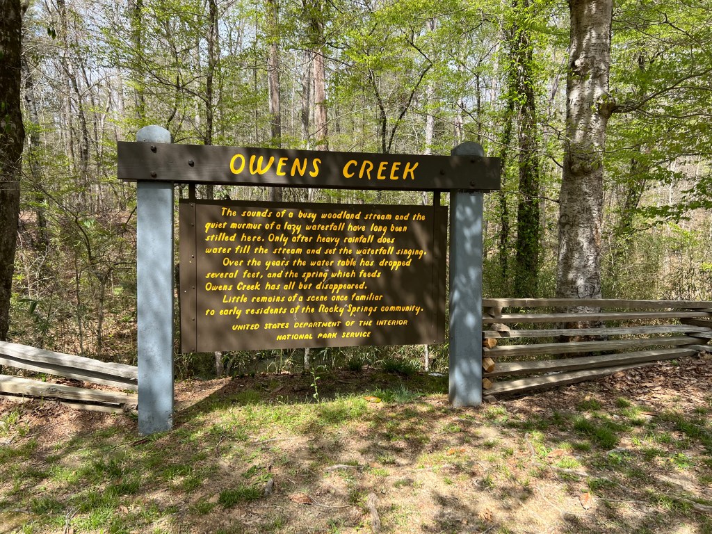
The abandoned town or Rocky Springs where the only still existing build is the church and they actually still have church service there once a month. The town was abandoned because the creek that ran through the town dried up and they could no longer get water so they had to move.


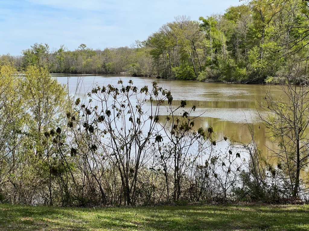
Here is a reservoir that sits along side about 20 miles of the parkway. This is at the south end of the reservoir.

This was our last stop for the day before our run to get to the campground before all the sites filled up for the night.
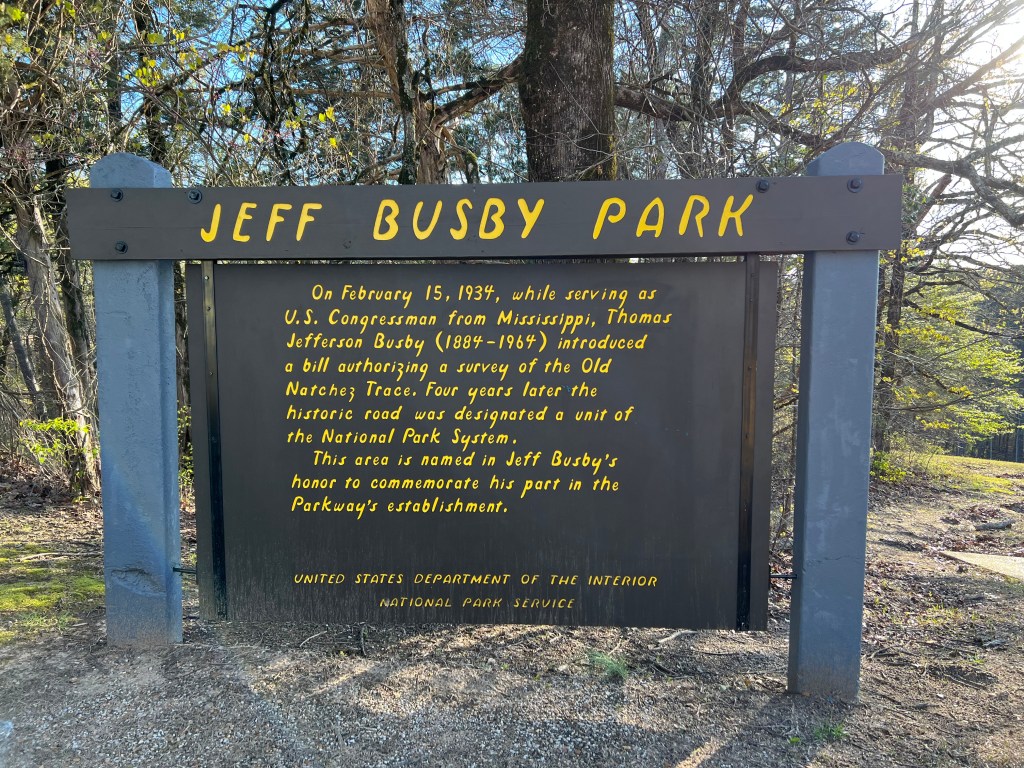
The sign for our campground for the night it is the smallest of the three campgrounds. It is in a beautiful spot and it is just a short walk up a hill to the top where you can see for miles.
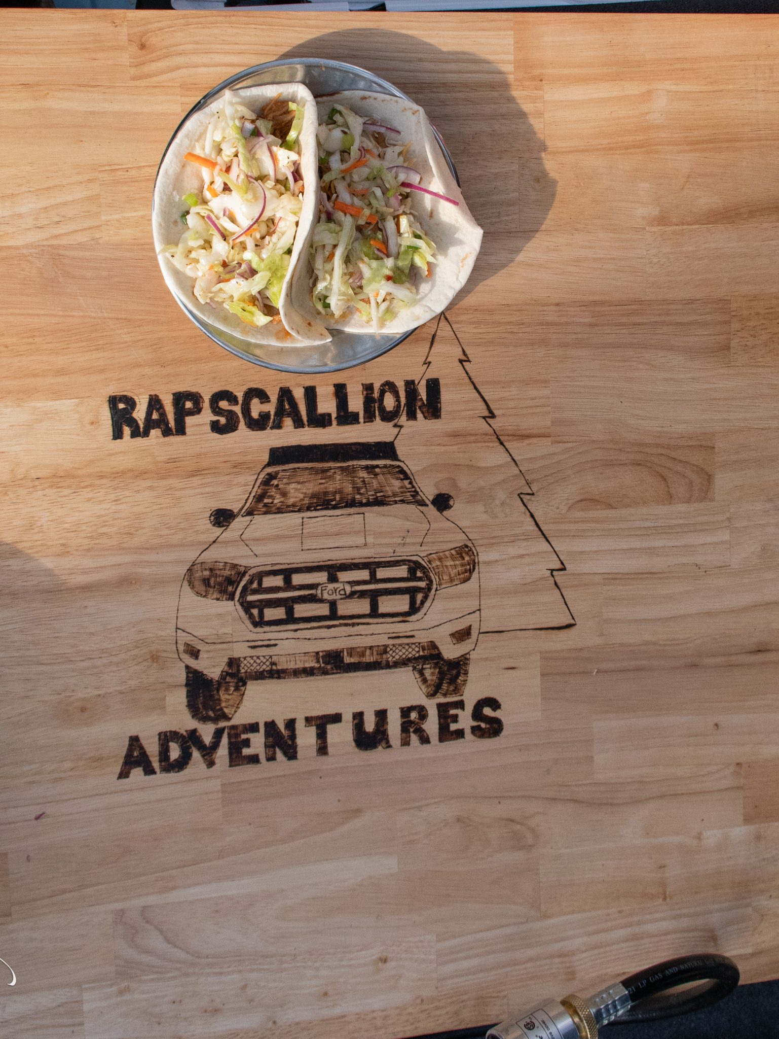
I made bbq pulled pork tacos with slaw for dinner with the left over bbq pulled pork from a few days ago. They were delicious and just enough before we took the dogs for a nice long walk.


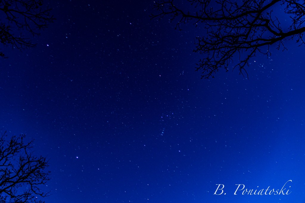
Some Photo’s my son took from the top of the campground area we stayed in. We came back down with the dogs before dark and I stayed with them while my boys went back up because me son wanted to try his had a star photography. The one below is his favorite of the night photo’s he got.
My Next post is day 2 of the parkway and should have a time lapse video of most of the parkway from our trip. I have been working on getting that put together. So if there is a break in my posts that is why. And sorry this post is late, the wether got nice here and we have been working outside.
If you love my blog posts and want to see more like these feel free to donate to my blog to cover some of our travel fees to see more awesome destinations like this one!!


Leave a comment